
Hurricane season is set to bring multiple intense storms that people need to be more prepared for than usual as this year “stands on its own,” a hurricane expert has said.
The Atlantic hurricane season officially starts on June 1 and the National Oceanic and Atmospheric Administration (NOAA) will reveal its predictions on Thursday.
But the Colorado State University (CSU) Tropical Weather and Climate Research Team, led by Philip Klotzbach, has already released its own forecast, predicting 23 named storms, 11 hurricanes and five major hurricanes—storms of category three or higher intensity.
Read more: Emergency Funds: How to Build One and Where to Keep It
Team member Alex DesRosiers, whose research specializes in hurricane intensity change, told Newsweek that their prediction of an “extremely active hurricane season” is “not something they do lightly.”
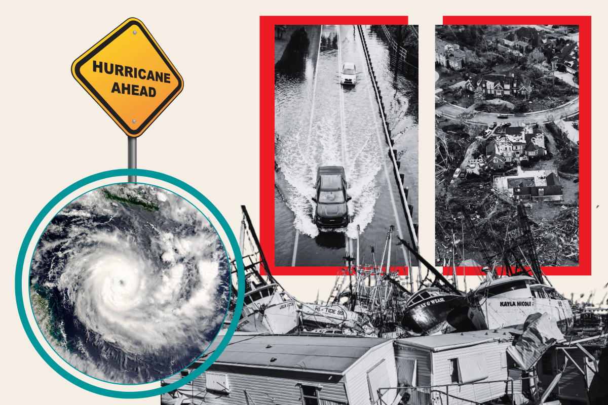
Photo Illustration by Newsweek/Getty Images
He told how they use historical records to compare how previous forecasts similar to the one being predicted turn out in reality—and “this year stands on its own” because of “how much warmer the ocean is.” DesRosiers said hurricanes “tap into warm ocean waters as fuel—so when you have a lot of fuel out there, you have a lot of cause for concern.”
Sea surface temperatures in some regions of the Atlantic are “record high, pushing values that we have not seen prior,” he said, adding, “In some cases, we’re two-plus months ahead of schedule on how much warm water you would expect in the Atlantic.”
Last year also saw very high ocean temperatures but this was accompanied by an “unfavorable atmosphere [for Atlantic hurricanes], which is typical in an El Niño”—where temperatures rise—though the U.S. still ended up with an above-average hurricane season.
This year, on top of the even higher ocean temperatures, the U.S. is expecting to transition to a La Niña—where temperatures drop—which is more favorable for the Atlantic storms after the change in wind direction (wind shear levels) that occurs during this transition.

Getty
“So when you pair an extremely warm ocean that’s providing fuel to these storms to an atmosphere that allows them to develop, you end up with a very dangerous combination,” DesRosiers said.
Elsewhere, the University of Pennsylvania forecast, led by Michael E. Mann in the Earth and Environmental Science department, has predicted 33 named storms.
DesRosiers said he does not expect the NOAA’s tone or numbers to be very different when they release their forecast.
He went on: “As far as seasonal forecasting goes, it can be very complicated. Last year it was very complicated, we had a very warm Atlantic and an El Niño—those are two very conflicting signals where it’s hard to tell what’s going to happen.
Today’s ocean heat content in the Atlantic Main Development Region for #hurricanes is typically reached on August 1st. We’re currently running about 2.5 months ahead of schedule. pic.twitter.com/73FyfjVM3j
— Philip Klotzbach (@philklotzbach) May 15, 2024
“This year is pretty cut and dry that we have a concerning problem on our hands.”
However, while DesRosiers and his team are certain there will be high activity this year, that does not mean each storm is going to make landfall.
“An active season does not mean an impactful season,” he said. “We are keeping our fingers crossed that we have a 2010-type season, where we have a ton of hurricanes so the science is right, but they don’t hit anyone.”
“That’s our hope—storms that are very pretty on satellite tracking over the remote regions of the Atlantic.”
But he added that “the more storms there are, the greater chance that you have something hitting a land mass and causing a disaster.”
The CSU’s report said there is a 62 percent chance of major hurricanes making landfall for the entire U.S. coastline. The average chance between the years 1880 and 2020 was 43 percent.
CSU puts the risk for the East Coast at 34 percent (the average is 21 percent), 42 percent for the Gulf Coast from the Florida panhandle westward to Brownsville (the average is 27 percent), and 66 percent for the Caribbean (the average is 47 percent).
DesRosiers issued a stark warning to people, saying “now is the time to put a plan in place.”
He said: “If you are one of the people who live in a hurricane-prone place that counts on the storm never hitting you, and you’ve been lucky up to this point and thankfully haven’t had to use one, that is great and I am very happy for you.
“But with a year as active as what we’re expecting, let this be the year that you break the habit—get a plan in place, know where you need to evacuate. Make sure that loved ones who live in hurricane-prone areas are aware that we are expecting a big year.
“If a hurricane does hit your area, you should pay attention to the forecast of the National Hurricane Center and pay attention to your local emergency managers, whose entire job is to keep you safe and informed in situations that can otherwise be scary.”
The NOAA will announce its forecast at 10 a.m. EDT in Washington, D.C.
Uncommon Knowledge
Newsweek is committed to challenging conventional wisdom and finding connections in the search for common ground.
Newsweek is committed to challenging conventional wisdom and finding connections in the search for common ground.
Comments are closed.